Why I Built Gillby
Five apps. A few websites. And I still got caught in the rain.

THE SHORT ANSWER
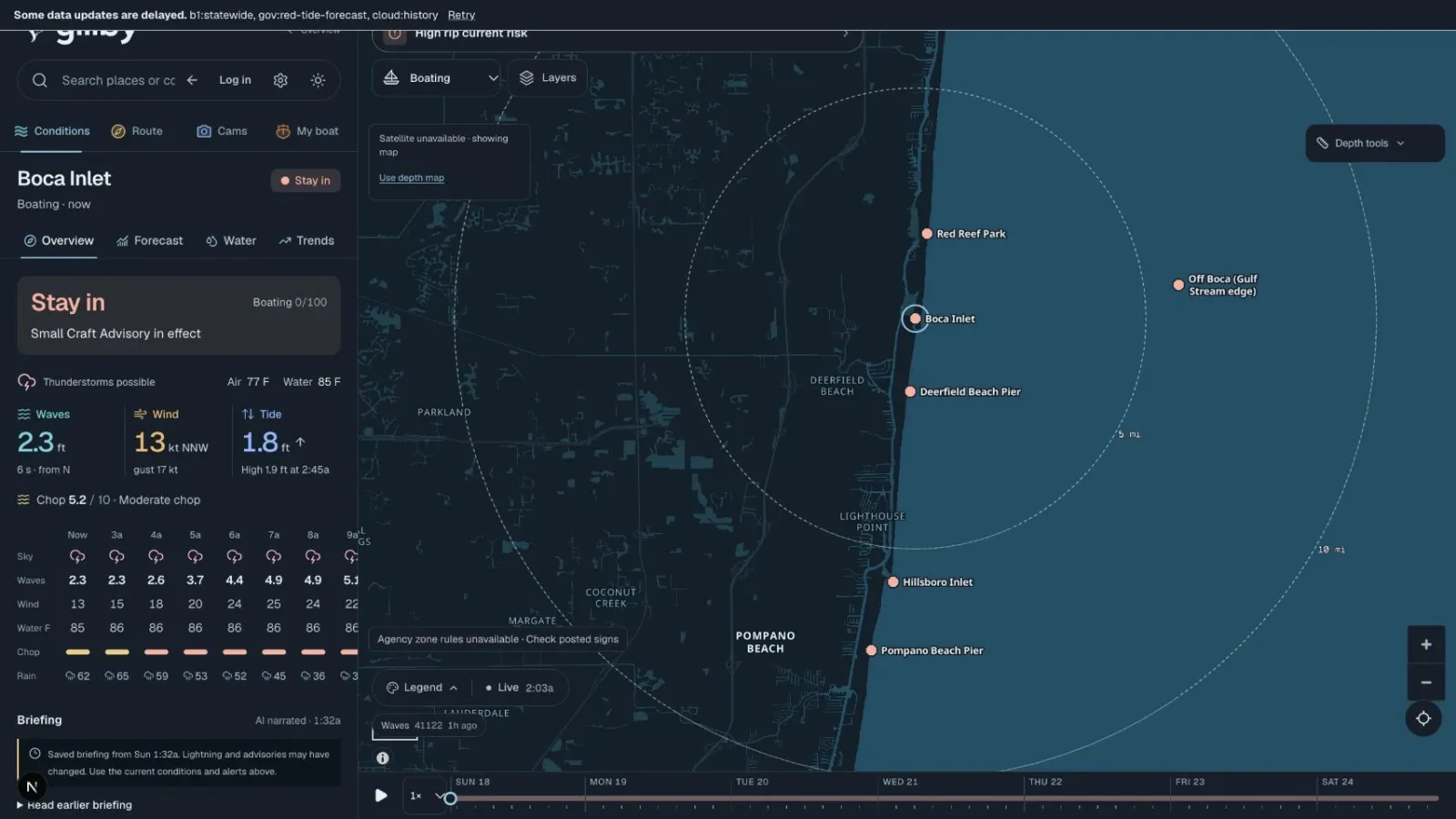
I built Gillby because checking the water took five apps and a few websites, each on its own clock, and I still got caught in the rain. Gillby puts wind, waves, tides, radar and lightning on one map and one timeline, so I can pick my window and go.
AT A GLANCE
- A hobby and a passion project from a newer boater, built for my own boat days.
- One map, one clock: wind, waves, tide, radar and lightning together.
- One verdict per activity, and chop tuned to your boat.
- Covers spots across Florida. Free.
What did checking the water used to look like?
I'm not from Florida, but I've been down here for years. Boating is newer for me. I run a 2008 Contender 21 Open out of the Deerfield, Boca and Pompano stretch, and I'm still learning this water.
When you're new, you don't have years of instinct to lean on. So before every trip I ran the same routine.
A wind app. A wave app. A tide app. A radar app. Then a couple of sites to guess what the inlet and the sandbar would look like when I got there.
Every one ran on its own clock. Every one had its own idea of where I was. I would stitch it together in my head, head out, and still get caught in the rain.
My wife said it out loud before I did. It was way too hard to get a good read on the weather without checking five different things. And when we asked an AI, it did not have good answers on its own. That is part of why Gillby also plugs into AI assistants like Claude and ChatGPT, so they can answer from real water data.
So I built the thing we wanted.
One map. One clock.
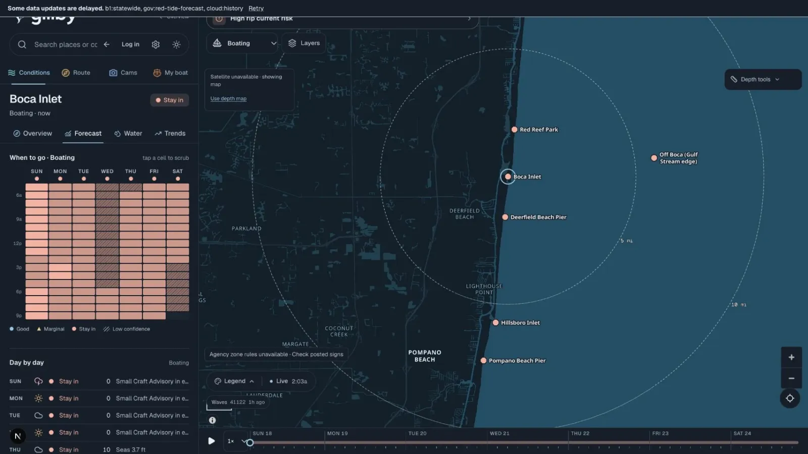
Gillby puts the whole picture on one map and one timeline. Slide to the hour you want to leave and everything moves with you: wind, waves, tide, radar and lightning.
Pick what you are doing today and you get one verdict for it. Pick your boat and the chop reading changes, because a 21-footer and a 35-footer do not ride the same sea.
Less scrolling. More salt water.
What does Gillby do today?
- Seven days of hourly conditions for each spot, built from the big wave and weather models, NWS forecasts, NOAA tides and the buoys.
- A local correction trained on about ten months of nearby buoy data. On held-out data it cut wave-height error from 0.45 to 0.36 ft and wind error from 1.9 to 1.5 kt.
- Go or no-go for each inlet, plus a chop index tuned to your boat.
- Lightning from the GOES-19 satellite every 20 seconds, with an all-clear countdown.
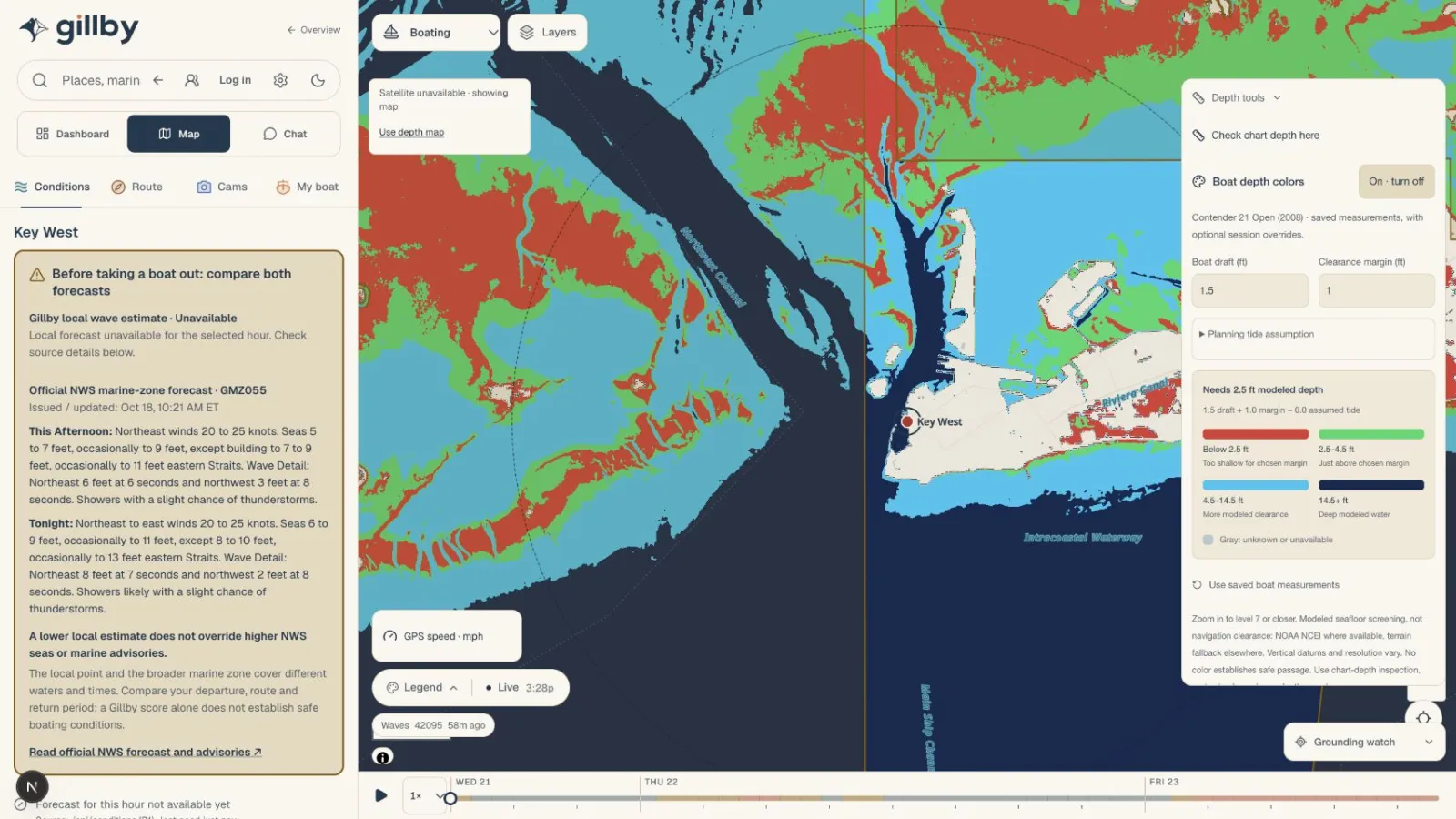
- Radar, satellite, NOAA charts and depth shading on the same map.
- Route checks that know your draft, the tide, the bridges and your departure window.
- 1,181 sandbars with how much water is over the bar right now.
- Marinas, ramps, fuel docks, wrecks, reefs and anchorages. About 3,600 places.
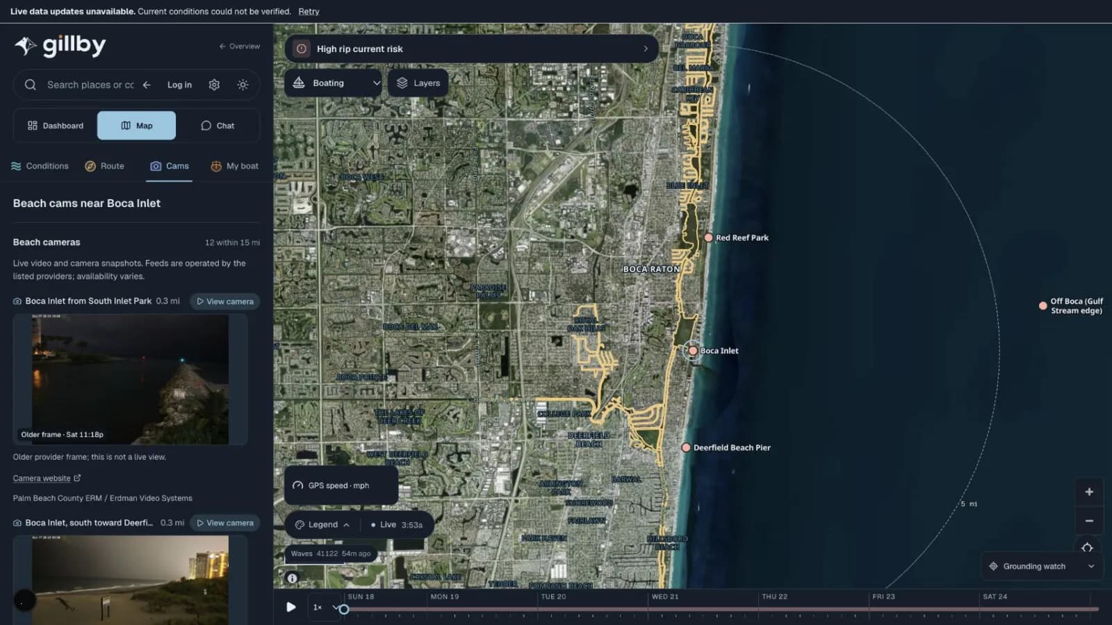
- Beach cams, right inside the app.
- Float plans you can share with the people who should know where you went.
- Ask Gillby in plain English, in the app or from Claude and ChatGPT.
It started with my home water. It now covers spots across Florida, from the Keys to the Panhandle.
What Gillby is not
Gillby is not a navigation chart. Use it to plan, then trust your eyes, your sounder and the official advisories.
Why a passion project?
Gillby is a hobby. I built it because I needed it, and I check it every time I go out.
If it saves you from juggling five apps on the dock, it did its job. If something is missing for your water, tell me. That is how it gets better.
Start with how I read Boca Inlet before I run it, or open the water map.
Quick answers
What is Gillby?
Gillby is a Florida water app that puts wind, waves, tides, radar, lightning and places on one map and one timeline, with one verdict per activity.
Who built Gillby?
Gabe Keding, a newer boater who is not from Florida but has lived here for years, built it as a passion project for his own boat days out of Deerfield, Boca and Pompano.
Is Gillby a navigation app?
No. It is a planning tool. Use official charts, advisories and your own judgment on the water.
Where does Gillby work?
It covers spots across Florida, including the Atlantic coast, the Keys, the Gulf coast and the Panhandle.
Your next water day starts here.
Pick your activity and your home water, then check the hours ahead.
Explore GillbySomething missing for your water? Tell me.