Florida Water Conditions: What to Check Before You Go
Know the water you are going to. Then read it on one clock.

THE SHORT ANSWER
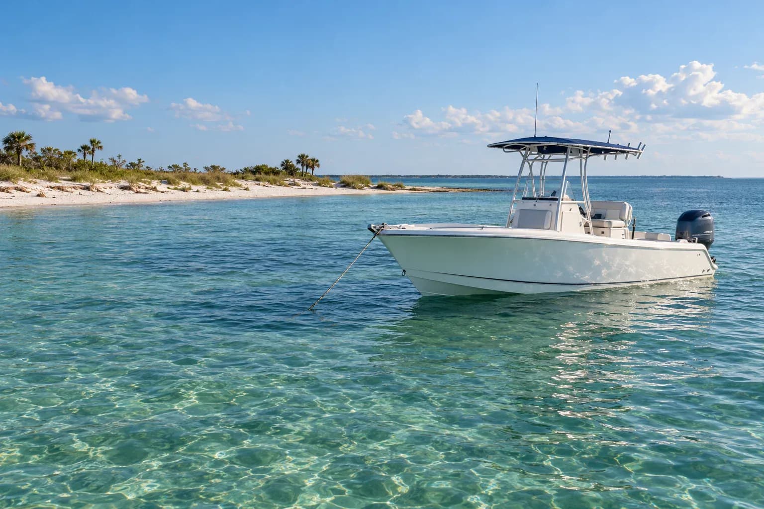
Before a Florida water day, check the marine forecast for your exact stretch of water, then wind and waves together, the tide at the right station, and the time on every observation. Match it to your activity. A city forecast or one far-off buoy is not enough on its own.
AT A GLANCE
- Use the marine zone for your water, not the city forecast.
- Read wind and waves together across the whole trip.
- Check which tide station you are reading.
- A forecast is not an observation. Check the timestamp.
Which Florida water are you going to?
Florida is a lot of different water. A city forecast does not cover any of it well.
- Atlantic coast: pick the marine zone for your beach or inlet. Keep nearshore and offshore apart.
- The Keys: the ocean side and the Florida Bay side are different days. Name the side.
- Gulf coast: a Tampa Bay or Charlotte Harbor outing is not a Gulf outing.
- Panhandle and Big Bend: check the bay or sound you are actually in.
- Lakes, rivers and springs: they need local weather and water levels. An ocean buoy says nothing about a lake.
What should you check for your activity?
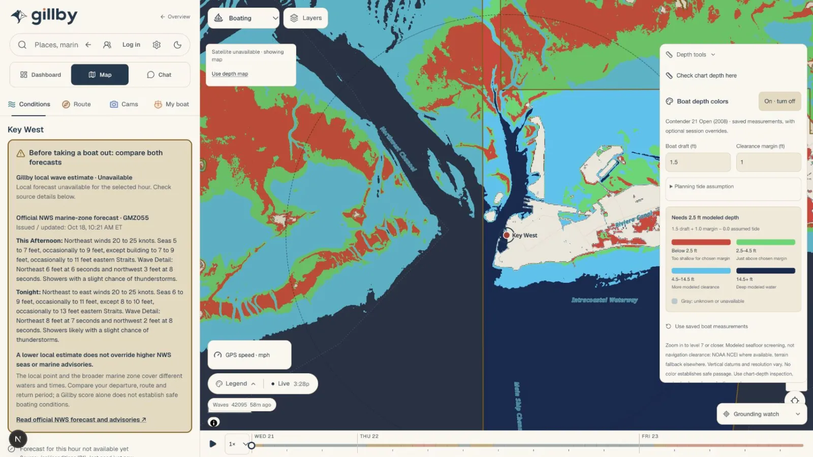
- Boating: wind, gusts and seas along the whole route, including the ride home. Add tide, inlet, bridges and depth. Here is how I read Boca Inlet.
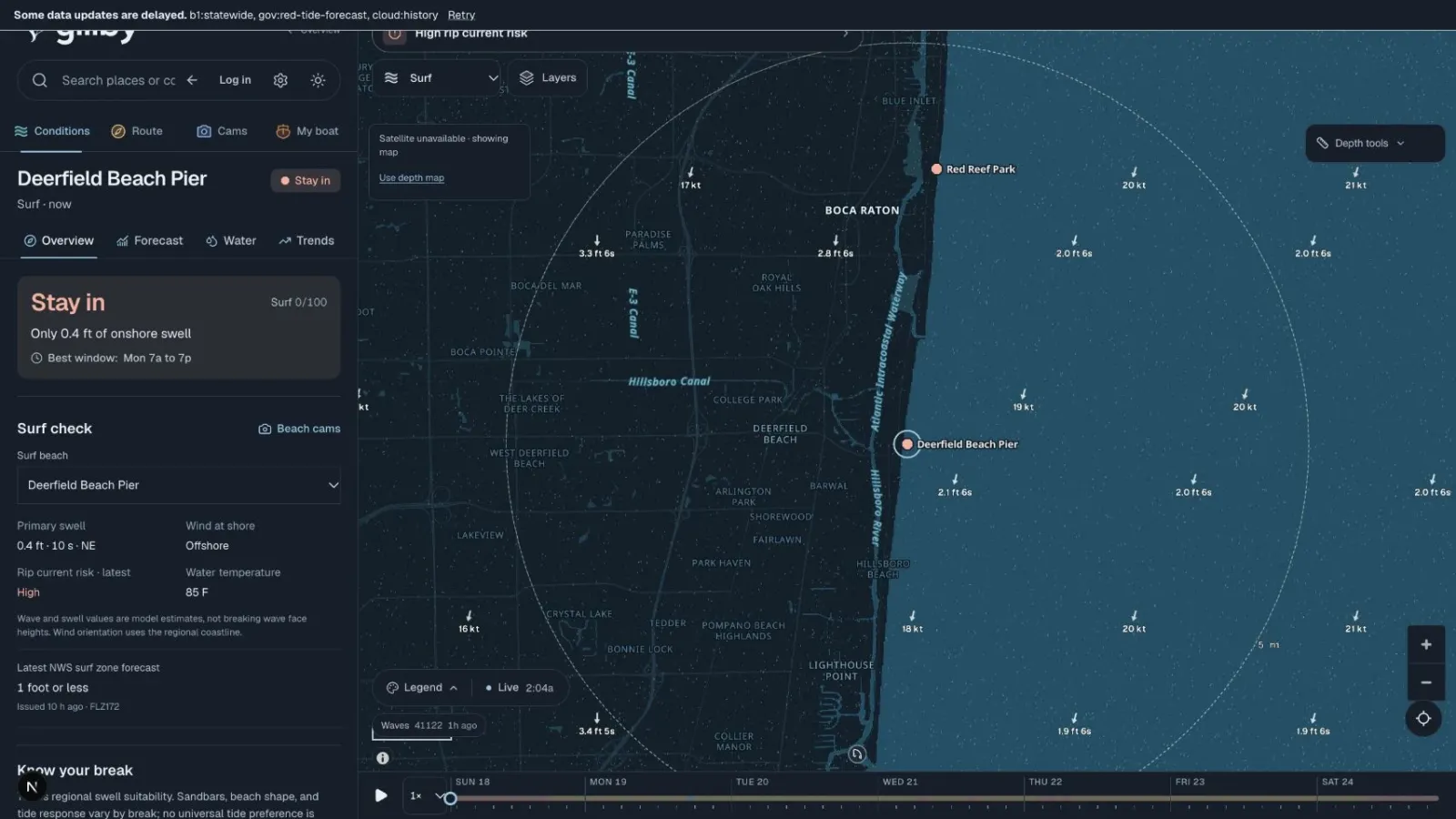
- Surf and kite: wave height, period and direction next to wind speed, gusts and direction, for the actual beach.
- Fishing: offshore, inshore, shore or freshwater each need a different check.
- Paddling, diving and the beach: currents, water quality and closures answer different questions. If a source does not report one, treat it as unknown.
How do you read wind and waves together?
One wave-height number leaves a lot out. Read speed, gusts and direction with height, period and direction, and look at how they change across your whole trip. One good hour does not make a good day.
Which tide station should you use?
Check which station a tide table is for, the time zone and the datum. NOAA CO-OPS runs the official stations. A tide prediction is a water level. It does not tell you how hard the current is running at an inlet.
Is it a forecast or an observation?
Forecasts describe what is expected. Observations describe one station at one time. A buoy offshore and a beach cam show different parts of the picture. Check the time on the reading, not just the time the page loaded.
How I do it in Gillby
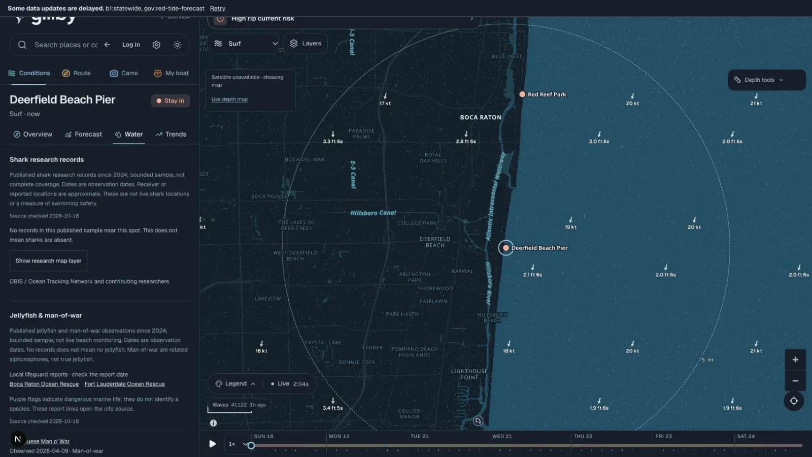
I pick the spot and the activity, slide to the hour I want to leave, and read wind, waves, tide, radar and lightning on one clock. Every reading shows its source and time, and gaps stay visible instead of getting filled in.
For official sources and local checklists, see the Florida water community guide. Or open the water map.
Quick answers
Where can I check Florida marine forecasts?
The National Weather Service marine pages have the official coastal zone forecasts. Gillby puts those next to tides, buoys, radar and lightning for your spot.
Does a nearby buoy show conditions at my beach?
No. A buoy reports its own location. Use it as a reference and check its timestamp.
Can a tide table tell me the current at an inlet?
No. A tide table predicts water level at a station. Inlet current is a separate reading.
What is the best app for Florida boating weather?
Use one that shows the marine forecast, wind, waves, tide, radar and lightning on one timeline for your spot. That is what I built Gillby to do.
Know the water. Make the day.
Your spot, your activity and the hours ahead, on one map.
Explore the water mapSomething missing for your water? Tell me.